1939 Kelly's Post Office Directory Map Of London With Four Maps
1939 Kelly's Post Office Directory Map Of London With Four Maps
Kelly's Directories Limited
Low stock: 1 left
Couldn't load pickup availability
1939 Kelly's Post Office Directory Map Of London With Four Maps
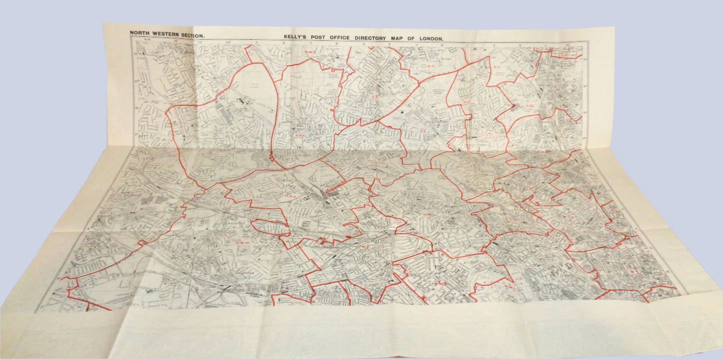
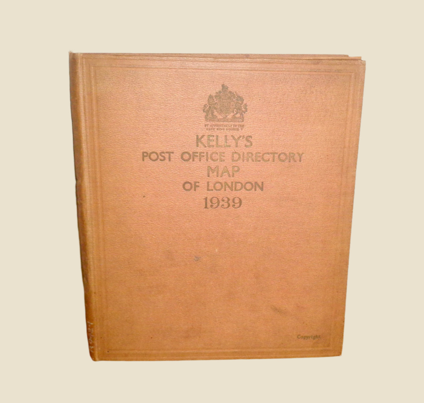
This wonderful folder is an original Vintage 1939 Kelly's Post Office Directory Map Of London With Four Maps published by Kelly's Directories Limited, 186, Strand WC2, at the outbreak of WW2.
On the face is the title and a crown with the words By appointment to the late King George V.
Approximate Folder Size (WHD): 22.8 cm (9") x 26.6cm (10.5") x 2cm
Approximate Map Size: 96 x 80cm (unfolded)
The inside of the hardback folder comprises two pockets containing the four neatly folded maps, (two in each pocket), for NW, NE, SW and SE London.
Each map is in pretty good condition with no tearing, some staining, and slight discolouration. The folder has discoloured with age and is a little grubby but intact.
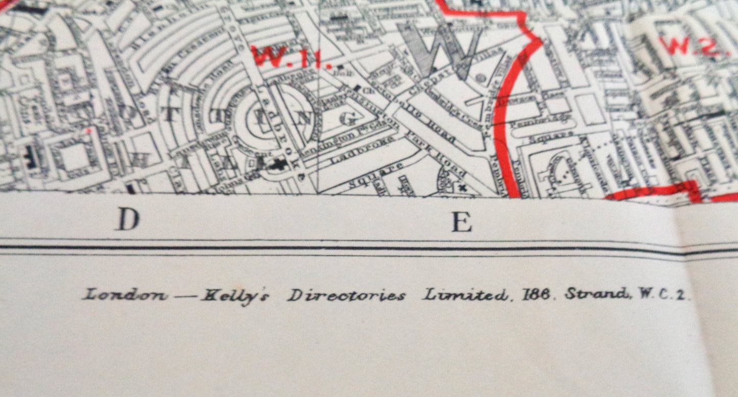
The attached images only show sections of the North Western Map just to reduce the number of pictures uploaded (they are big, 96cm x 80cm once unfolded). Hopefully, this gives you an idea of the quality and condition of the three other maps.
This book of maps belonged to the Lowestoft Reference Library, stamped on each map and came into our possession some time ago. I had intended to have the maps mounted but never quite got round to it... a photo is attached of what part of a map could look like if mounted on the wall.
The maps are based on the Ordnance Service Maps produced with sanction of the Controller of HM Stationery Office. Published by Johnson, Riddle and Co. Ltd, London.
A lovely collectible for all Cartophiles or history buffs!
Please click on the following link for more vintage books.


